THINGS TO DO
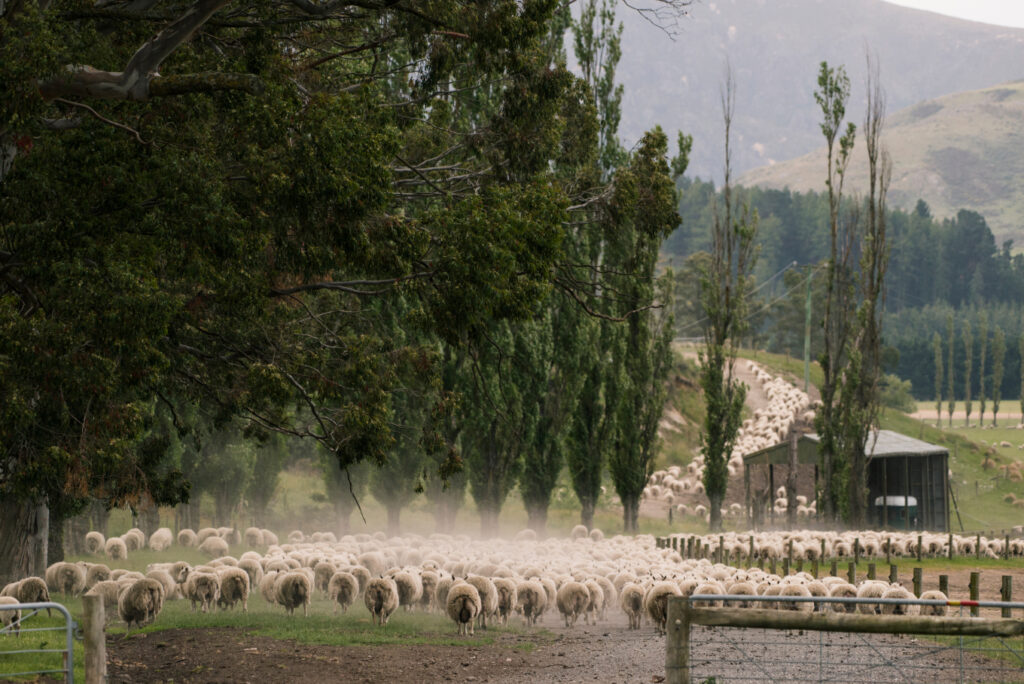
INVERARY STATION
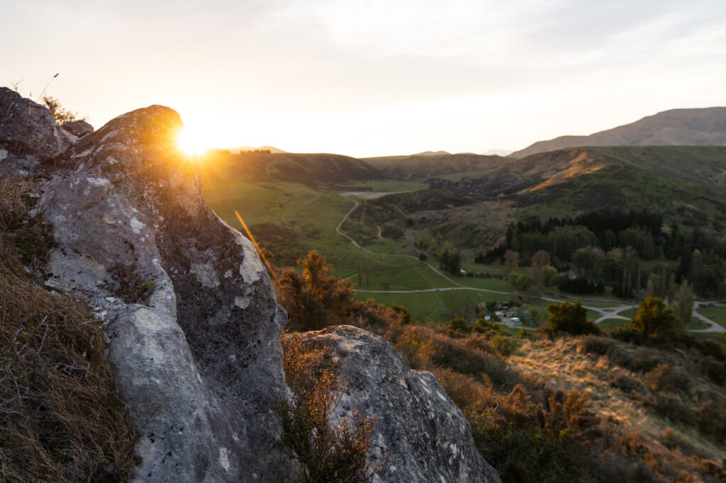
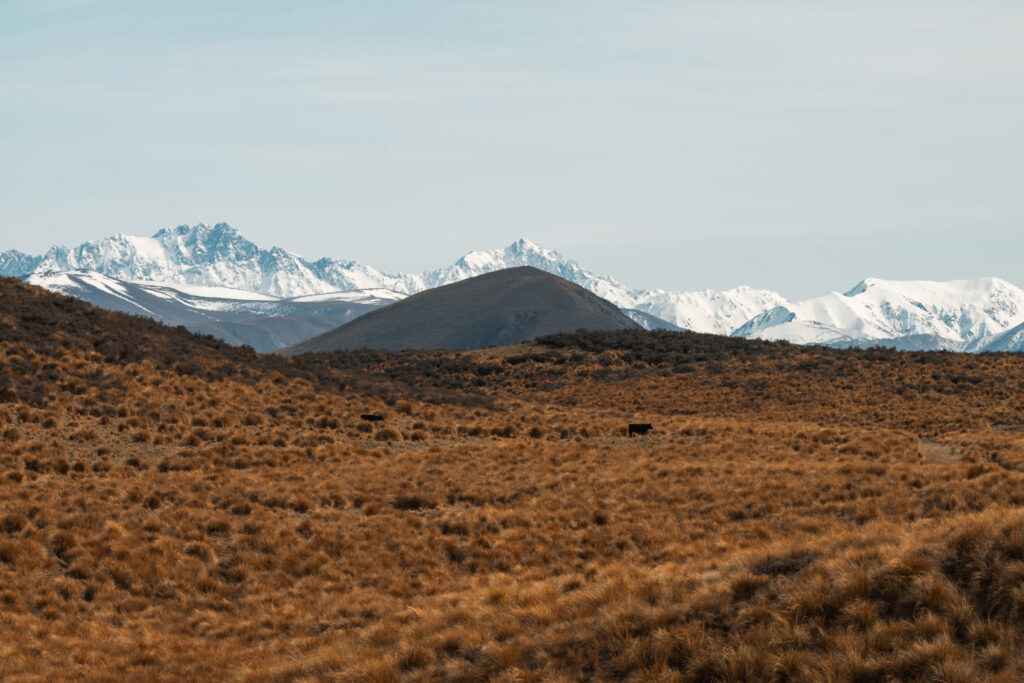
Inverary forms much of the catchment area for the Hinds River which dissects the property with steep valleys and rocky gorges. Rising from a fertile river valley through low hills and a limestone bluff the property reaches the summit of the Moorehouse Range. Inverary does not reach the heights of the alpine country further up the valley but it is something more than hill country. It could be, as one visitor remarked, high country with manners.
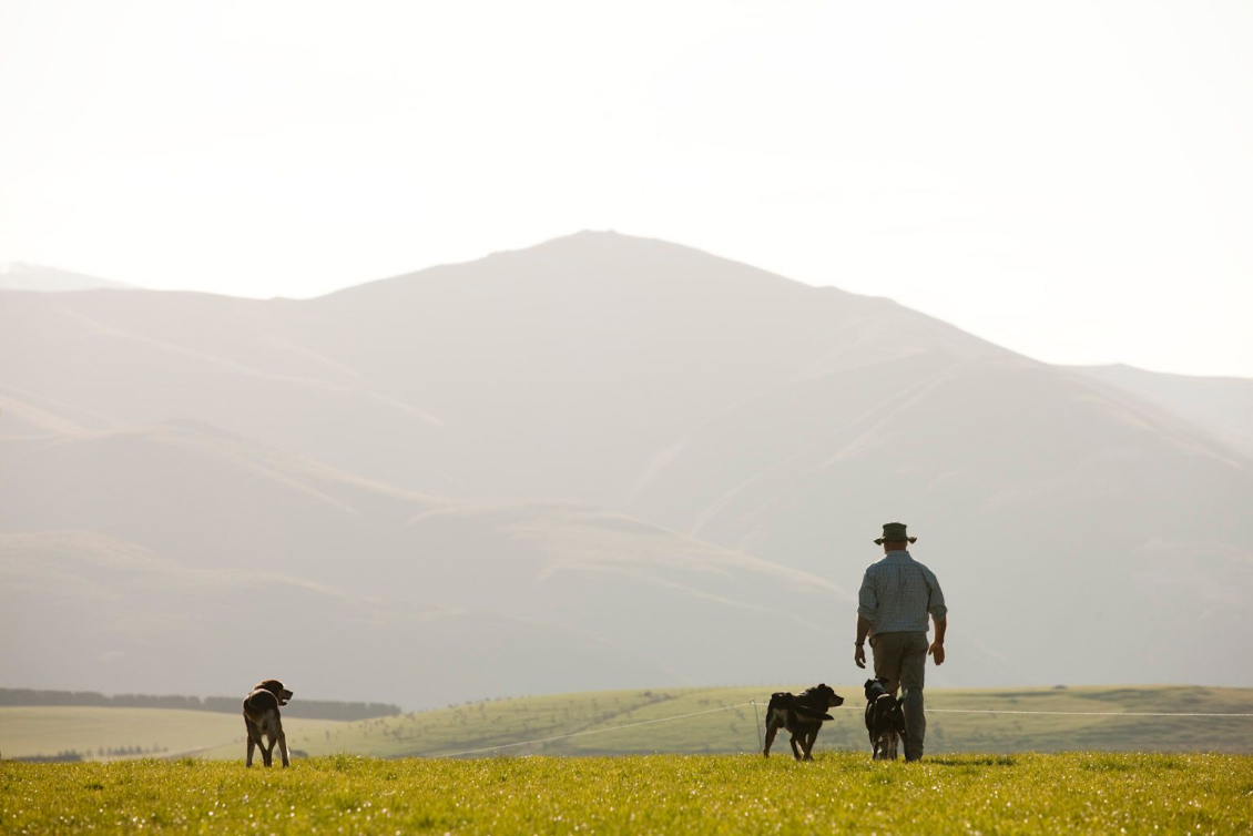
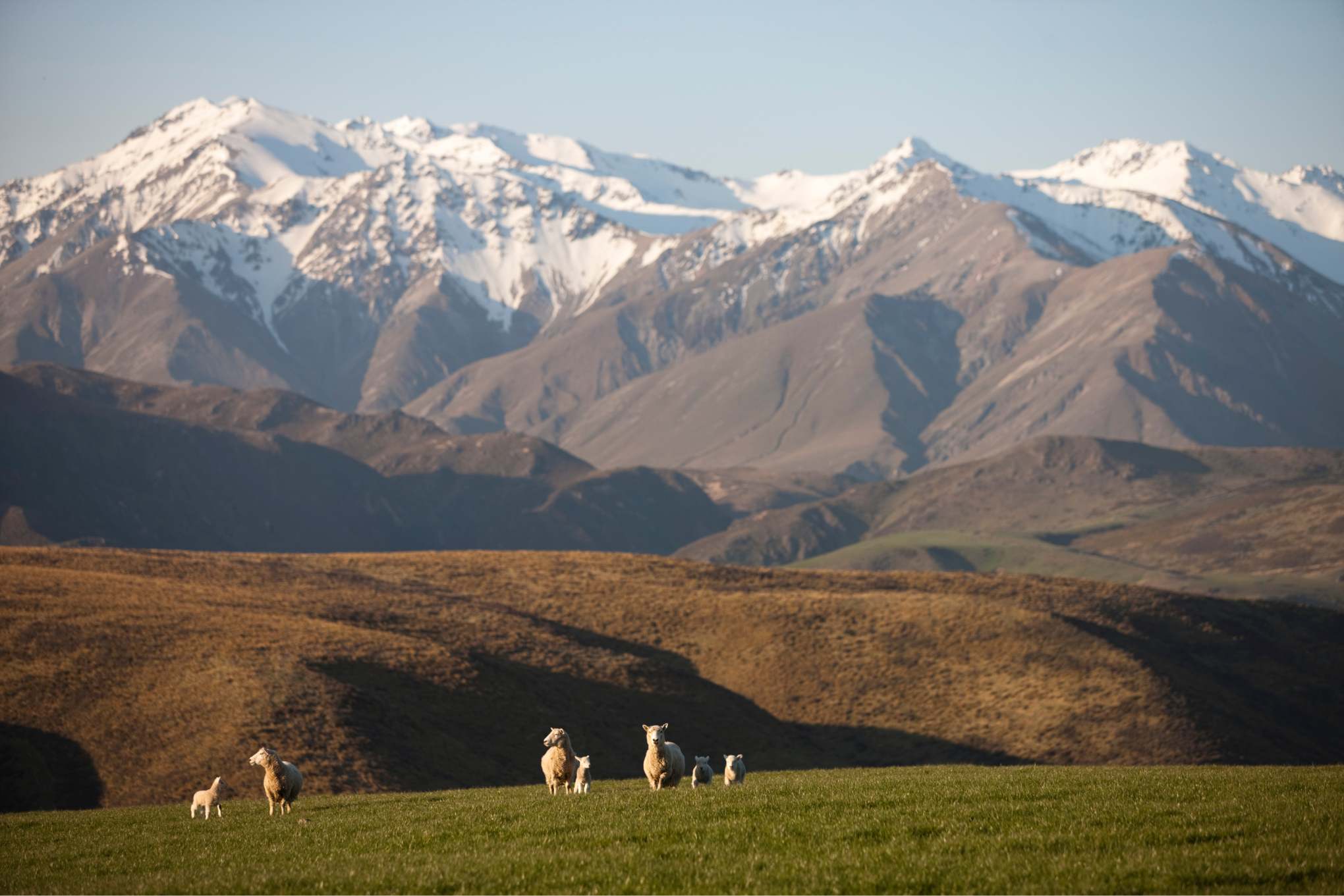
There is much to do or see. A number of walks have been chosen with a variety of terrains and distances from half an hour to half a day. With 10,500 acres (4250 ha) available, it is likely you will have the place entirely to yourself – a few sheep maybe or occasionally, one of the shepherds and a team of friendly dogs.
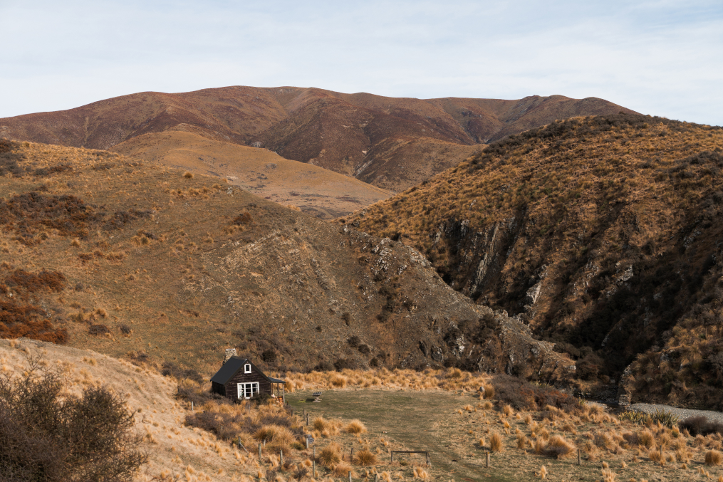
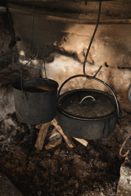
THE MUSTERERS’ HUT
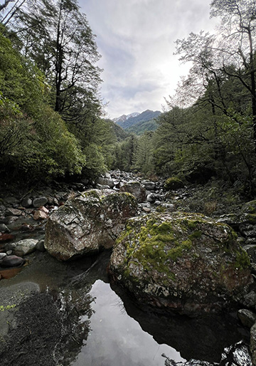
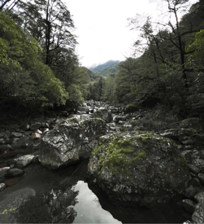
Wander up the Hinds river to the musterers’ hut, and if it is hot, swim in the rock pools on the way. Stop to see the contortions of the NZ’s original bedrock structures exposed in the stream bed. Nearby is the native whipcord hebe clinging to the cracks in the rock faces while along the river faces are scattered clumps of one of NZ’s endangered plants – Canterbury Pink Broom.
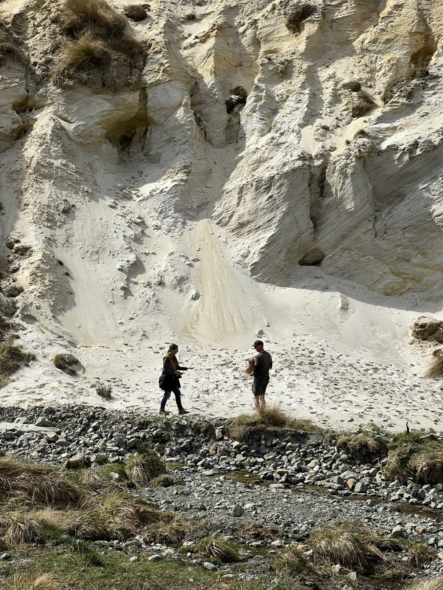
BLONDIN’S STREAM
Go for a ramble along Blondin’s stream – see the deposits of silica sand and china clay that have been incorporated into the art works especially commissioned and displayed in the hut. Sometimes after heavy rain it is possible to find one of the agates or amethyst crystal the region is so renowned for.
THE LIMESTONE
Explore our QEII covenant protection for rare plants and limestone rock formations that sheltered Maori food gathering parties on their way to the high country lakes.
At almost any time of the day soaring birds can be seen from the hut searching for thermals or prey. From time to time the rare native falcon Kārearea patrols. Only found in New Zealand, these powerhouses can fly over 200km/h and hunt prey much bigger than themselves.
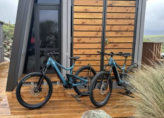
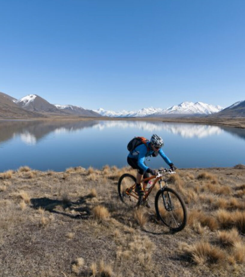
ELECTRIC BIKES
We have two state of the art, Moustache brand, electric mountain bikes available for your use as part of the overall hut experience. These bikes, one large and one medium. will allow you to explore our hill trails in comfort and with confidence. Powered by Bosch these eBikes are powerful and reliable and will assist you up the steepest hills and through any of the shallow streams that you are likely to encounter on our trail network. We have also added puncture protection to the tyres for added security.
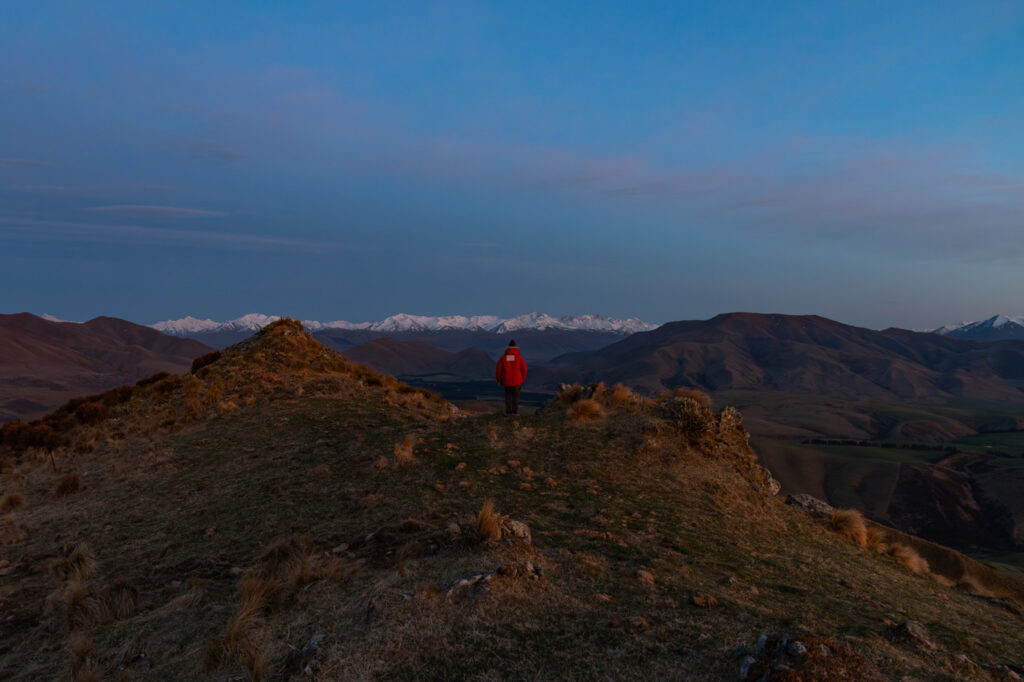
WALKING AND BIKING TRAILS
We have curated a selection of walking and biking tracks to provide guests with a range of options for exploring the station ranging from a half hour ‘round the block’ equivalent to a full day hike to the summit of Tent Peak and back. The trails are well marked and route timings have been tested by a local walking group for accuracy. You’ll find larger copies of these maps on the wall in the hut porch.
MOUNTAINS & LAKES
MT SOMERS
This little settlement near the foot of Mt Somers itself, owes it origins to farming and the very early mining of coal, silica sand, China clay, lime and building limestone.
It is now increasingly becoming known as the gate way to one of the most beautiful ecotourism areas in Canterbury – the Hakatere Conservation Park with all its lakes, mountains, vast braided rivers and many walking and mountain biking tracks.
The best starting point in the Village is the Mount Somers Information Station opening in early 2025 which will record the early Maori history and European settlement. Featured too will be the unique geology and flora and fauna to be found here. Maps will show the numerous walking and mountain biking tracks in the region and other available activities
A particular feature will be displays of the sands, clay and limestone that have been mined in the district. Accompanying each mineral will be examples of Temuka pottery, Crown Lynn china, Crown Crystal glass, agates and limestone sculptures that all owe their origins to Mt Somers.
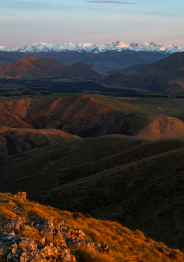
HAKATERE CONSERVATION PARK
The road from Mount Somers up the Ashburton Gorge reaches deep into Southern Alps at the foot of the Main Divide. It traverses the rugged and majestic mountain country, remote sheep stations, sparkling mountain streams and alpine lakes which lie between the mighty Rakaia and Rangitata rivers.
The Hakatere Conservation Park of 60,000 hectares, is centred around the old Hakatere station buildings where the valley and road divides – either west in search of the Rangitata river or to the north past Lake Heron to the upper Rakaia River. Both journeys take around an hour from Mt Somers – without stops.
The old stone cottage at the Hakatere corner is thought to be Mid Canterbury’s oldest building, dating from 1862. The Department of Conservation has provided some excellent information material in the adjacent buildings.
Our favoured trip of the two roads is to continue west past the lakes to Erewhon Station at the end of the road. Be aware that both roads past Hakatere corner are gravel – not sealed.
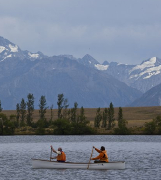
LAKES CLEARWATER & CAMP
Lake Clearwater and Lake Camp are glacially formed lakes separated by a small village of very traditional, alpine holiday baches some dating back 100 years.
Lake Clearwater is popular for windsurfing, sailing and rowing, with no power boats allowed and is an important wildlife refuge for the rare and endangered Great Crested Grebe and many other species.
Lake Camp with its public camping areas is popular with water skiers and swimmers.
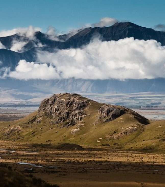
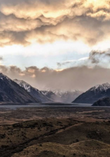
MT SUNDAY
Approximately 10 mins drive past these lakes is a must stop place – the top of the Potts Cutting. Coming suddenly into view and laid out below is the vast braided Rangitata river encircled by dramatic snow capped mountain – often considered one of New Zealand’s finest views.
In the centre of the riverbed is Mount Sunday, once carved by glaciers but made famous as Edoras in the second Lord of the Rings film (there is a 30 min walk to the summit).
The surrounding Mt Potts Station has a restaurant serving great homely country food (we recommend checking availability before you embark).
LOCAL VILLAGES & BUSH

MOUNT SOMERS VILLAGE
Mount Somers village is home to approximately 250 residents but is growing rapidly. You will find a good country store for all your basic needs including fuel, a tavern, garage and a pleasant restaurant at Stronechrubie Village motels.
A drive around the village will reveal a number of charming little workers cottages from the 1800’s and the famous sculptured hedge on Patton Street.
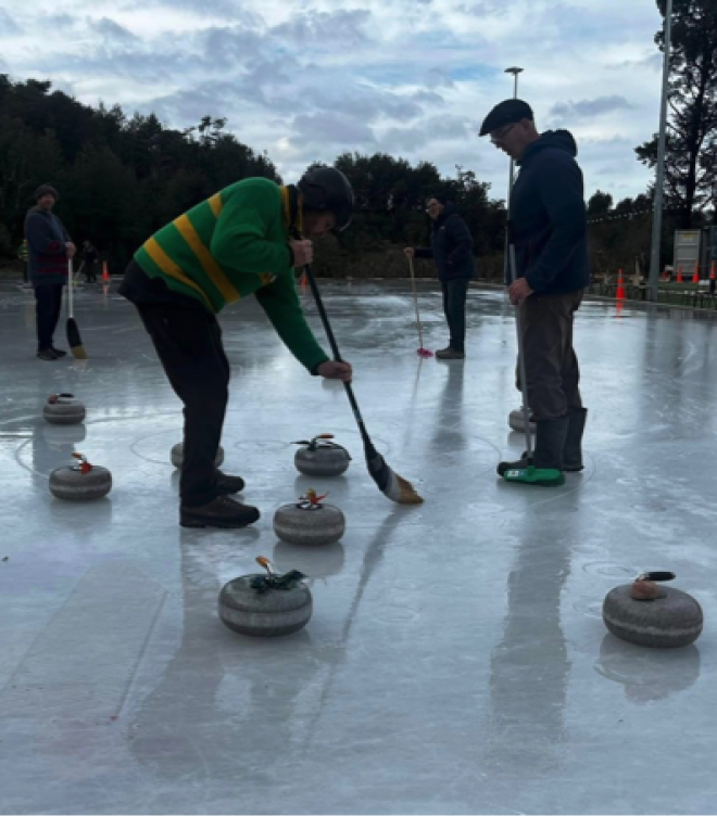
STAVELEY SKATING RINK
Nearby in the cool shade of the bush is NZ’s northernmost outdoor skating rink. Recently upgraded with a refrigerated base the rink is open for three months of winter.
Visitors can not only skate but also watch the locals enjoying their favorite game of curling – bowls on ice. They also run introductory sessions for visitors.
BEECH FOREST WALKS
Nestled under the rugged bulk of Mount Somers but defined by the adjacent bush clad slopes is the village of Staveley. Once the site of a dairy factory and timber mills, this little village welcomes a growing number of visitors attracted to the outstanding walks through nearby beech forest and mountain tracks.
The popular Mt Somers Walkway begins or ends here after three substantial days of hiking. With two substantial huts enroute this sub-alpine walkway requires a good degree of fitness. For those wanting a more leisurely hike, the 90 min Sharplin Falls track takes walkers on a loop track through dense beech forest to picturesque waterfalls.
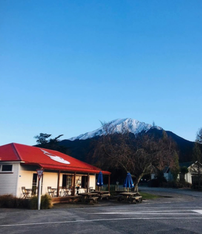
CAFE AND MUSEUM
The heart of the village is the Staveley Store and Station shop. Opening in 1876 as the local store this attractive little café serves delicious home-baked goods, light lunches, and great coffee. It also stocks an array of local products from woollen blankets, beech and manuka honey to Blue Earth handmade soaps.
The Staveley Museum is located in the adjacent old relocated school building of Springburn. There is an extensive display of artifacts and photographs from the district and an extensive geological display of the unique geology of Mount Somers and its environs.
Close by the historic lime kilns constructed from local limestone provide a striking contrast to the local landscape and a window into early New Zealand history.